Groundwater is a vital resource that supports communities, agriculture, and industry by providing clean water for everyday use. But when it becomes contaminated, the consequences can be serious, ranging from health risks due to chemical exposure to ecological damage and costly clean-up efforts. Ensuring the safety of groundwater for human consumption and managing it responsibly is critical for protecting public health, sustaining ecosystems, and securing reliable access to clean water.
When planning a new industrial site, it is essential to understand potential risks to the water safety of surrounding communities. Similarly, in cases of existing industrial leaks, it's vital to project the situation one, five, or ten years into the future to develop effective mitigation plans if communities are negatively affected.
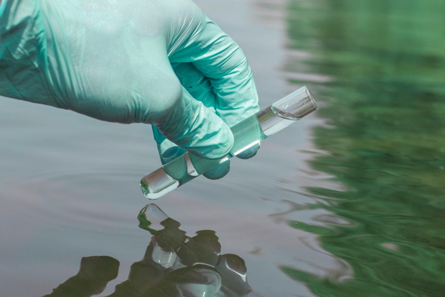
However, high-resolution measurements of dissolved substances in groundwater (e.g., nitrates, PFAS, etc.) can be very expensive. The cost of drilling a well to measure concentrations at relevant depths (typically tens of meters underground) can reach $5,000 according to our market research (1, 2, 3). Therefore, a technology capable of accurately recreating the complete pollution profile from a limited number of measurements is highly desirable.
That’s where Recursive comes in. We’ve developed an AI-powered groundwater pollution model that uses just a few concentration measurements to identify the pollution source and extrapolate contamination levels across the entire area of study.
Our process begins with readily available input data: groundwater pressure data from open repositories (e.g. gbank Water Environment Map, gbank WellWeb GSJ), along with key hydrological properties of the region, such as hydraulic conductivity (Figure 1). These can be sourced from public datasets or provided directly by the client.
.png)
These properties determine the dynamics of the AI model, allowing for accurate prediction of how pollutants would be transported through the groundwater.
Once the general dynamics of the area are established, we adapt the model to the specific case using the client’s field data - specifically, measurements of pollutant concentrations taken within the contaminated area.
To illustrate this, we show a simulated example of pollutant spread in a flat region, with a realistic pressure gradient and hydraulic conductivity typical of a gravel-sand mix (Figure 2). This could represent an industrial leak on flatlands near a mountainous area.
.gif)
In this mock example, we simulate a customer taking measurements at arbitrary locations, then use those measurements to infer the source of contamination. The setup reflects a realistic scenario of a pollutant spill in a flat terrain.
Measurement locations can be chosen at random. We estimate that a localization accuracy of 40 meters can be achieved with 10 or fewer measurement points.
The model ingests the sparse measurements of concentrations and gives the most likely parameters of the pollutant leak, including the most likely location of where the leak occurs (Figure 3).
The model is trained to take into account a diverse set of hydrological properties and works well with various groundwater profiles, streamflows, and heterogeneous hydrological properties of the ground.
.gif)
Finally, once the source is identified, the model reconstructs the full pollution profile for the area of interest and predicts how the pollutant will spread over time. These insights help guide the client’s next steps, whether that’s containment, extraction, or other actions to manage and reduce the contamination.
Our modeling approach can be applied in a variety of contexts, involving different solute substances and industries. In the sections below, we organize the potential applications in three ways: first, by industry; second, by business objective; and third, by relevance to water management and regulatory compliance.
Here are several specific industry contexts, associated contaminants, and possible business applications where our model can be effectively used:
Agricultural Runoff:
Mining Impacts:
Industrial Discharges:
Emerging Contaminants:
Radioactive Waste Disposal:
Nutrient Transport:
Landfill Management:
Carbon Sequestration:
Geothermal Energy (with additional engineering):
Here are several use cases focused on environmental impact reduction and contamination management. These activities are broadly applicable across the industry-specific examples above:
Remediation Design & Optimization:
Long-Term Monitoring:
Brownfield Redevelopment:
Source Identification:
These applications focus on managing water resources responsibly and supporting regulatory compliance:
Wellhead Protection:
Aquifer Storage and Recovery (ASR):
Permitting:
Regulatory Decision Making:
Founded by a former senior research engineer at Google DeepMind, Recursive brings together world-class talent from across disciplines to engineer results where others can't.